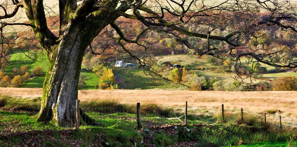
Q: What's the name of that mountain? A: Just point your phone!
/Ordnance Survey’s new augmented reality feature will do the rest!
Ever wondered what the name of that hill is in the distance? Or how far away a town is from the spot you are standing in? Well, all you need is a mobile phone or tablet and Ordnance Survey’s new augmented reality feature will do the rest!
“The aim is to improve people’s knowledge of their location by helping them see beyond the edge of the map”, explains Tim Newman, Digital Product Manager at Ordnance Survey.
Using the phone or tablet’s camera view; hills, mountains, coastal features, lakes, settlements, transport hubs and woodland in the vicinity are identified and labelled. If a label is pressed and there is a data connection, a page of useful information about that location is displayed, including nearby walks, photos and places to stay. READ MORE


